Map-to-Reality Conversion
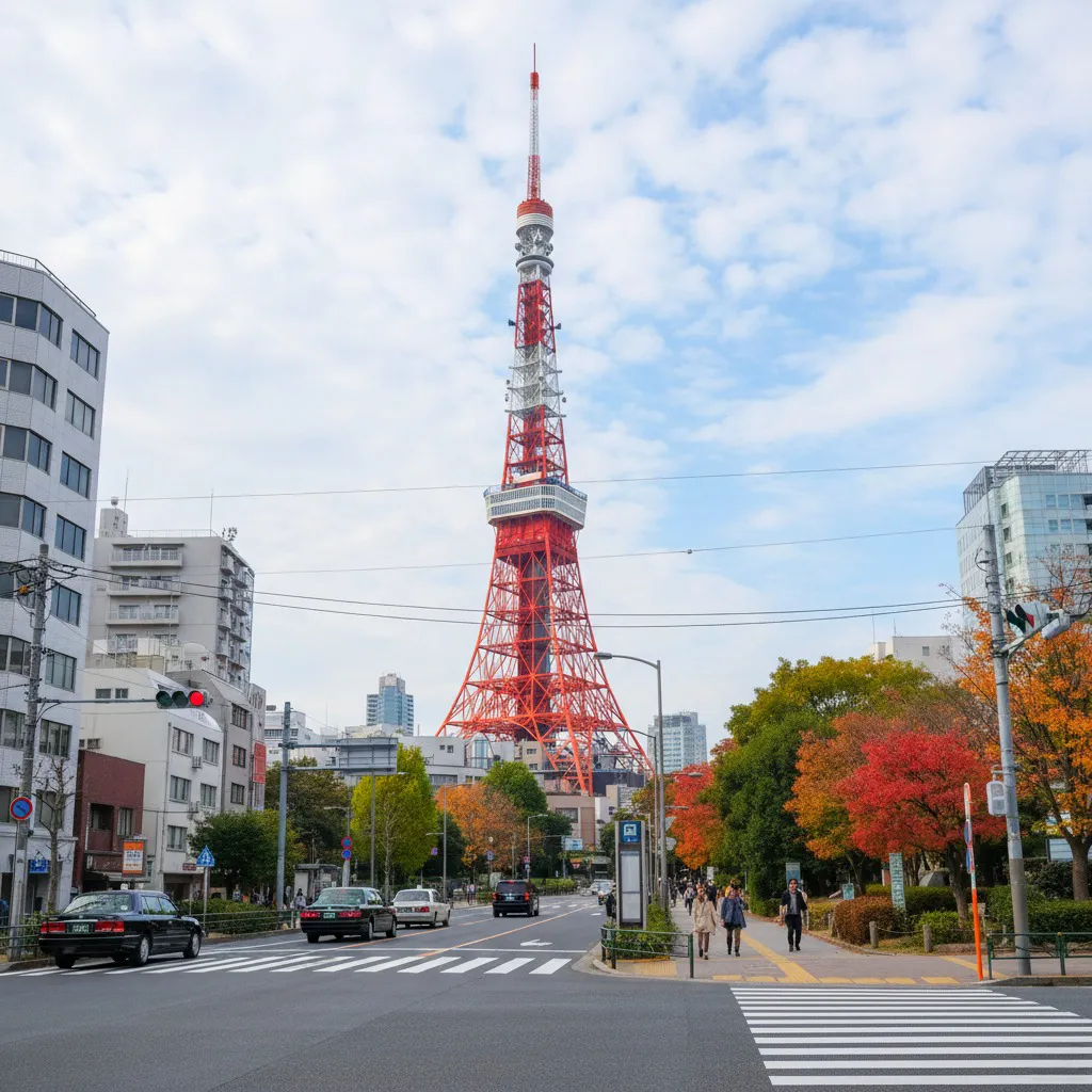
Generate real ground-level photos based on map information, showcasing actual street view scenery
Pro Tip
The result is an imagined scene, not a real street-view photo, so do not rely on it for navigation.
Full Prompt
How to Use Map-to-Reality Conversion
- 1
Click Use This Template
The editor opens with [Map-to-Reality Conversion] in the prompt box. The full prompt above is applied when you generate.
- 2
Upload your photo
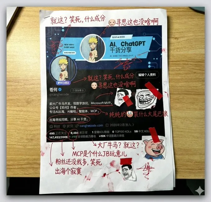
A screenshot of a map zoomed in to a few blocks, with visible street names, landmarks or labels.
- 3
Add your own details
Type them after the template name, for example "[Map-to-Reality Conversion], autumn trees, clear blue sky, people on the sidewalk".
- 4
Choose a model and generate
NanoBanana 2 is a good place to start: Nanobanana 2 keeps more detail from the reference, which helps it follow the road layout and labels on your map.
Good For
- Previewing what a neighborhood might look like before a trip or a move.
- Turning a fictional or hand-drawn map into street scenes for a game or story.
- Location scouting ideas for a shoot when all you have is a map.
More Tips
- Zoom in so one landmark or intersection fills the screenshot; a whole-city view gives the model too little to go on.
- Say where you are standing, like "looking north from the corner of the park", to control the view.
Ideas to Try
Type one of these after [Map-to-Reality Conversion] in the prompt box.
Autumn day
autumn trees, clear blue sky, people on the sidewalk
Night street
at night with shop lights and wet pavement
Eye level
standing at the main intersection, eye-level view facing the landmark